Introduction.
|
The following screen shots illustrate how Earth Point displays real estate listings
on Google Earth. Remember - these are just pictures. You don't actually
run Google Earth from here. Click any of the pictures for a larger image.
|
|
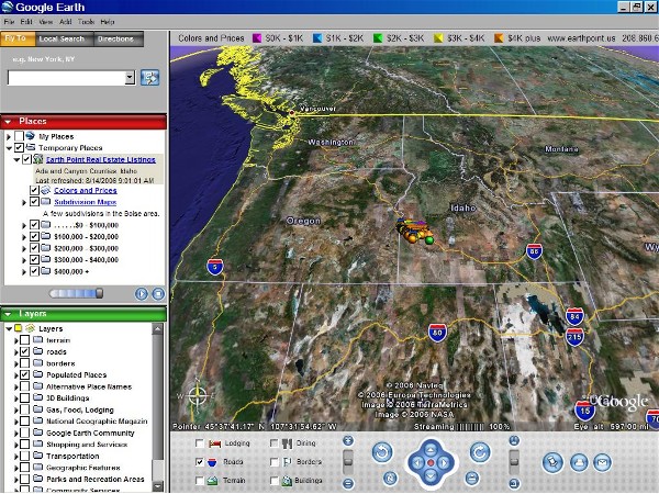
The view from 600 miles up. Earth Point adds real estate listings in and around
Boise, Idaho. From this distance, the listing icons appear clustered together
in the center of the screen.
|
|
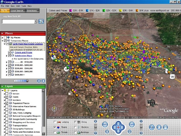
Zoom in to 30 miles away. Each icon represents a house or property for sale.
The color of the icon signifies the price range. There is a color legend at
the top of the screen. The shape of the icon signifies the listing type. For
example, residential listings have diamond shapes and bare land has round shapes.
This makes it easier to find the property you are looking for.
|
|
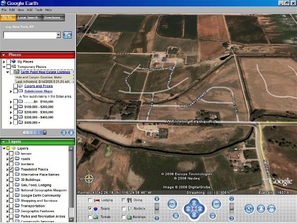
The next few pictures show how Earth Point adds layers to Google Earth's standard
presentation. Above is Lakeshore Point subdivision, on the north side of Star,
Idaho, with no listings or added features displayed. Google Earth's satellite
image was taken a few years ago, just as construction was getting started.
Today this is a very nice neighborhood.
|
|
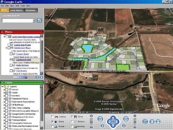
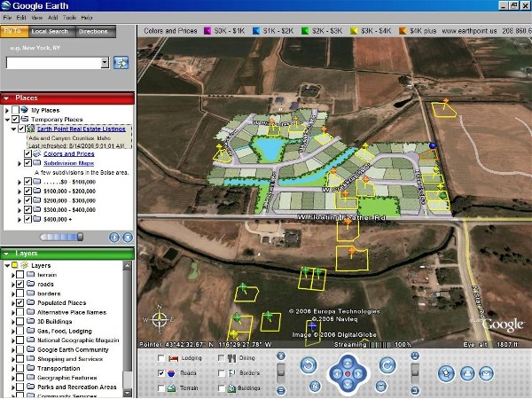
Since the satellite picture is out of date, we add a subdivision map. Earth
Point currently has three subdivision maps. Lakeshore Point, shown above,
is one of them.
|
|
Next we include the listings, which show the location and boundaries of each property
for sale. Once the listings are downloaded to Google Earth, they are automatically
updated every day.
|
|
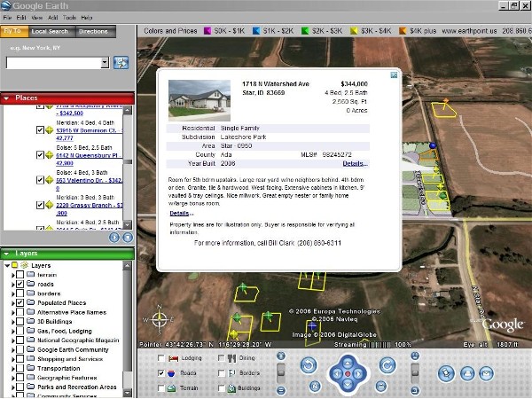
Click a listing icon to display the MLS information. From there, the "Details"
link shows us even more.
|
|
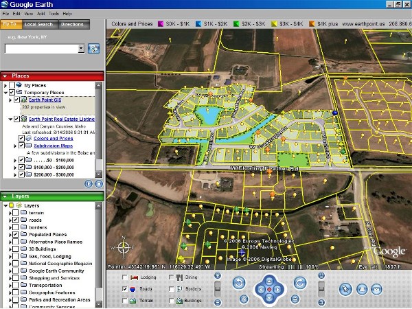
The Earth Point "County GIS" adds locations and boundaries of all of the surrounding
properties, even those that are not for sale.
|
|
|
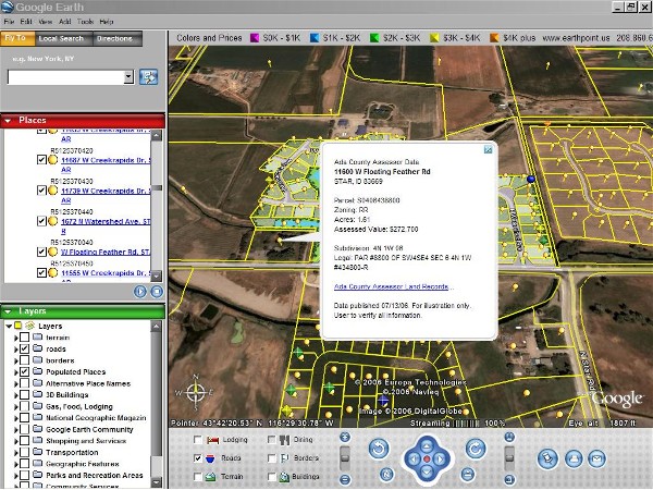
Click a parcel icon (yellow dot) to display the county data. Since this example
is in Ada county, we can also link to the Ada County Land Records web site.
|